Sea Surface Salinity
March 13, 2024
Marine Biodiversity Under Pressure
March 13, 2024Nature's
Pathways
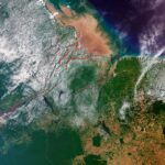
Namib Desert
One of the oldest of its kind, the Namib coastal desert was caused by its location on the "Tropic of Capricorn" and the cool ocean current, known as the Benguela Current, which snakes its way up southern Africa's Atlantic coastline. The cold water blocks humidity from reaching land, instead creating swathes of shoreline fog, the foundation of one of the driest deserts in the world.
© Sentinel-2, Copernicus, ESA
Currents are movements of ocean water driven by winds, tides, and density differences. Satellites measure sea surface height and speed of currents, as well as the changes to these currents due to climate change, as they transport heat, oxygen, and nutrients, influencing climate and biodiversity.
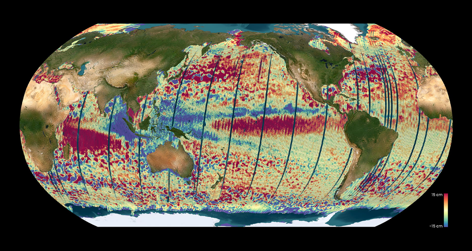
The CNES-NASA Surface Water and Ocean Topography (SWOT) satellite is due to complete the first global survey of the Earth’s surface water. The satellite’s 2D mapping has a resolution 10-times better than classic nadir altimetry, enabling precise mapping of our ocean’s water bodies and surface topography. The data from the satellite will help to better understand rising sea levels and coastline transformations in a changing climate. The image shows the ocean topography as measured by SWOT in November 2023, and highlights “El Nino” event signature in the Equatorial Pacific.
© CNES/ NASA-JPL/ 2023

Yannice Faugère
Engineer in Space oceanography
CNES, French Space Agency
Toulouse, France
The primary use of ocean topography is to monitor the rise in sea levels, the clearest and most reliable indicator of climate change. The current rate is twice that of the 90s.
Measuring this acceleration is now one of the main goals of satellite’s altimetry, or measurements concerned with height. SWOT is a satellite launched in December 2022 by the French and the US Space agencies, CNES and NASA. It is carrying a brand-new instrument that will provide two-dimensional images of the ocean, a revolution in the field of satellite altimetry.

Probir Banerjee
President
PondyCAN (Citizen Action Network)
